Drainage, Sewer and Utilities
12d Model provides comprehensive tools for the design and optimisation of drainage and sewerage systems, and other non-gravity services such as gas, electricity, telecommunications and water.
Integration with the entire civil design and powerful clash detection management, allows for efficient 3-D modelling prior to and during construction.
Survey
Refer to ‘Surveying’ Dimension.
Surface drainage
Create overland flow models. Calculate and display extent of ponding at sags and flooded widths/depths/velocities along overland flow paths. Assess aquaplaning risk on major roads. Highlight critical areas. Fully integrated in 3-D with the road design and underground drainage networks. Analysis options available in 1-D and 2-D.
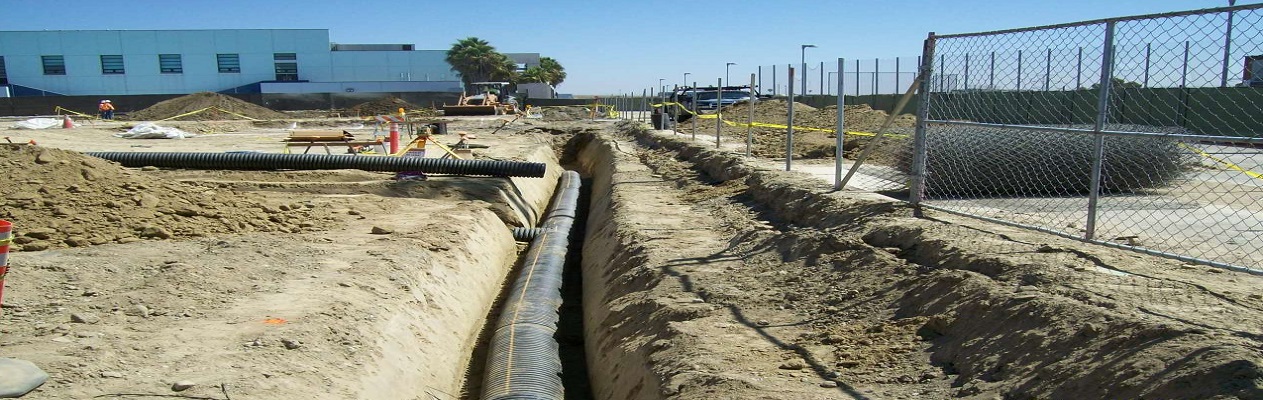
Drainage networks
Analyse, design, grade and size drainage networks (pits/pipes/culverts/channels). Integrated in 3-D with terrain model, road design, crossing services, and hydrological models. Calculate structure losses, culvert headwater losses, friction losses, inlet capacity, bypass flows and surcharge flows. Optionally supports automatic pipe sizing, partial-area effects, natural channels, diverging flows, reversing flows, weirs, orifices, pumps, tanks and basins. HGL analysis available using the rational method and dynamic hydrograph methods. Use of 3rd party drainage analysis software is also supported.
Storage basin volumetrics
Optimise drainage systems which include stormwater detention basins and storage tanks, with simple statistical methods for preliminary design and sophisticated analytical methods for final design.
Sewerage
Design of gravity operated waste water reticulation systems. Model property controls and connections, to better design systems to code.
Non-gravity services & utilities
Coordinate and grade all non-gravity services and utilities to ensure sufficient cover and clearance for all. A variety of string types may be used, including Super string conduits (optionally from Apply Many functions), Pipeline strings, Drainage strings and Super Alignments. Designs can be exported to GIS for future reference and use.
Visualisation and presentation
The 3-D design is automatically/continuously created and can be viewed at any stage of the design process to provide instant real life representation of the project. This is enhanced by:
- the automatic application of textures to the design surface triangulation
- the draping of aerial photography on existing surfaces
- addition of features such as guardrails, line marking, street lighting, barriers, vehicles, trees and houses
walk and drive through the design with options to record the drive as a movie to share with clients and other stakeholders.
Project documentation
Automate the production of reports and drawings (plans, cross-sections and long-sections) and reduce drafting times.