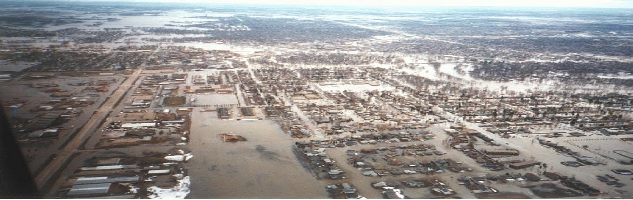
12d Model handles very large datasets and interfaces with a wide range of analysis packages, making it perfect for flood studies and the management of rivers and dams.
12d has partnered with industry leading analysis software,
allowing users to apply 2D drainage analysis from within
12d Model.
Surveying
Refer to ‘Surveying’ Dimension.
Earthworks and volumes
Carry out basic earthwork design such as site grading or building pads and calculate volumes using multiple methods. Develop mass haul diagrams or volume reports for billing and/or claims processing.
Hydrology
Flood analysis
Rivers
12d interface directly with TUFLOW to allow large scale river and flood analysis.
Dam design and infrastructure
Dam structures and associated civil infrastructure can be modelled in 12d.
Visualisation and presentation
The 3-D design is automatically/continuously created and can be viewed at any stage of the design process to provide instant real life representation of the project. This is enhanced by:
- the automatic application of textures to the design surface triangulation
- the draping of aerial photography on existing surfaces
- addition of features such as guardrails, line marking, street lighting, barriers, vehicles, trees and houses
walk and drive through the design with options to record the drive as a movie to share with clients and other stakeholders.
Project documentation
Automate the production of reports and drawings (plans, cross-sections and long-sections) and reduce drafting times.